
Coastal states around the Baltic and North Sea, joined by Iceland, have issued an open letter to the “international maritime community” warning that growing GNSS interference and AIS spoofing – explicitly attributed to Russia – are putting all ships in the region at risk and undermining core International Maritime Organization rules.
Signed by Belgium, Denmark, Estonia, Finland, France, Germany, Iceland, Latvia, Lithuania, the Netherlands, Norway, Poland, Sweden and the UK, the letter stresses that satellite‑based position, timing and navigation data is now a “critical safety requirement” for shipping, not a luxury, underpinning both navigation and systems such as GMDSS.
“We are now facing new emerging safety situations due to growing GNSS interference in European waters, particularly in the Baltic Sea region. These disturbances, originating from the Russian Federation, degrade the safety of international shipping. All vessels are at risk,” the states warn.
They also highlight AIS integrity as vital, arguing that spoofing or falsifying AIS data “undermines maritime safety and security, increases the risk of accidents, and severely hampers rescue operations”.
The signatories call on flag and port states, registries, class, owners and seafarers to recognise GNSS interference and AIS manipulation as safety and security threats, ensure ships and crews are able to navigate safely during outages, and “cooperate on the development of alternative terrestrial radionavigation systems” that can substitute for GNSS.
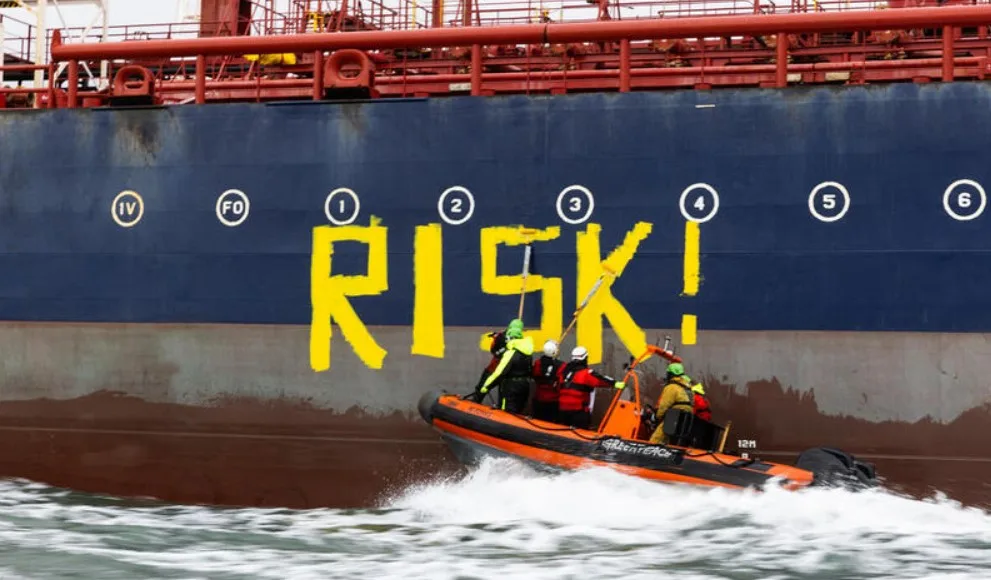
In a clear swipe at Russia’s sanctions‑busting network, the letter links these risks to the “increasing use of shadow fleet vessels to circumvent international sanctions”, and then proceeds to restate, point by point, core UNCLOS and IMO obligations. These include single‑flag requirements and the treatment of convenience dual‑flaggers as “ships without nationality”, valid certification, insurance and ISM systems, proper watchkeeping and lookout, continuous operation of AIS and LRIT, compliance with ship reporting systems, VTS, IMO‑adopted routing and areas to be avoided, and full adherence to MARPOL, including shipboard pollution plans and notification of ship-to-ship transfers.
The letter amounts to a coordinated political and legal warning that freedom of navigation in northern European waters is conditional on strict compliance with existing rules.
The UK’s Royal Institute of Navigation (RIN) has reinforced those concerns in a new maritime report on GNSS interference, based on input from over 100 sector experts, 300 masters and dozens of operators regularly encountering jamming and spoofing.
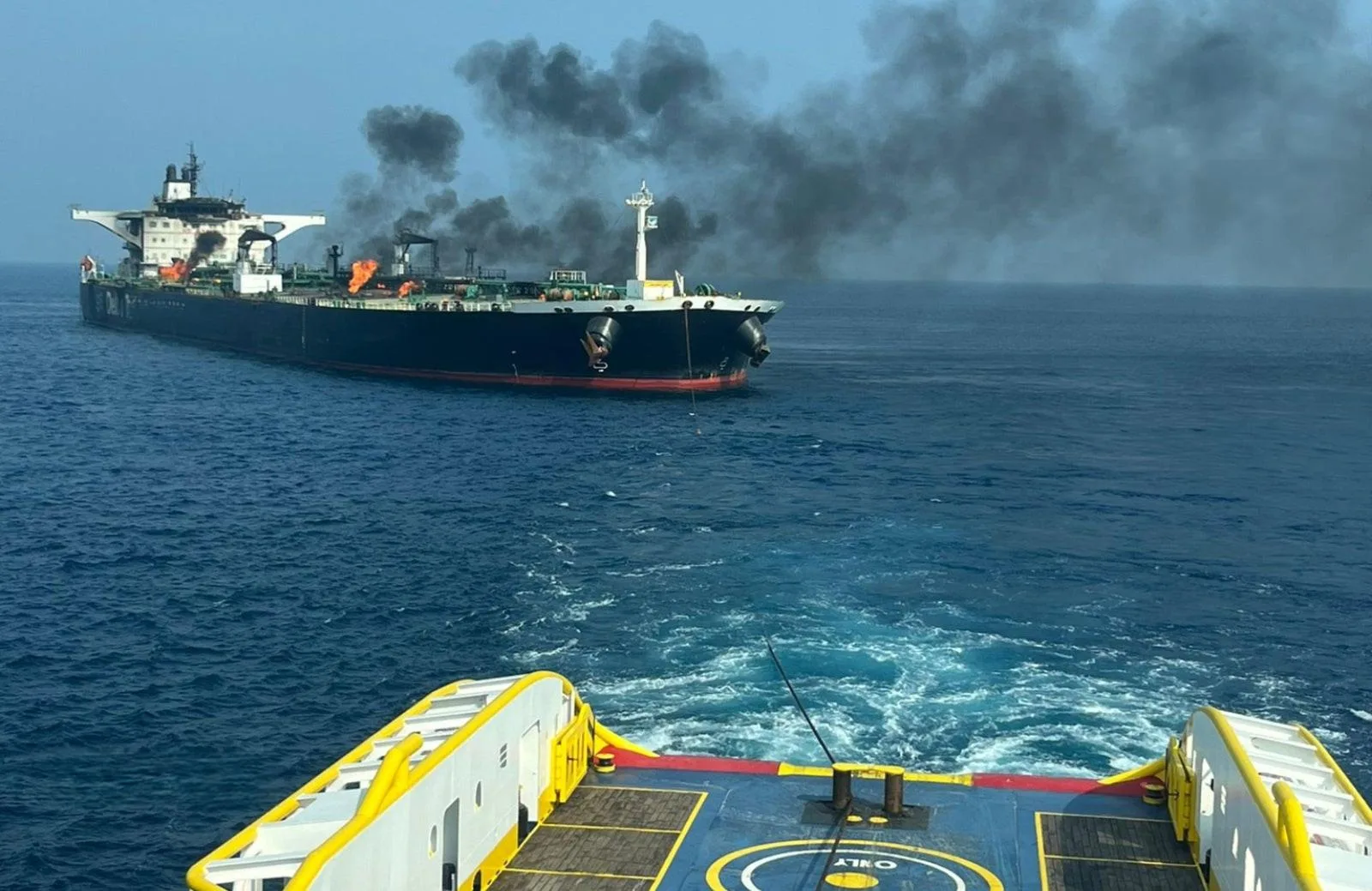
RIN notes at least two collisions and groundings reported in 2025 in the Baltics, the Strait of Hormuz and the Red Sea linked to GNSS disruption, and says “hundreds of vessels” are affected daily. The study finds that jamming and spoofing now pose “a significant cybersecurity vulnerability and urgent risks to maritime safety”, affecting not only navigation but also GMDSS and other SOLAS‑mandated systems that rely on satellite timing.
The report also criticises unnecessary dependencies between GNSS receivers and onboard electronics – from radar and radios to ship clocks and satcoms – creating “avoidable points of failure” when signals are compromised.
“The issue of GNSS interference must be taken seriously. It cannot be overcome by traditional navigation techniques when GNSS receivers are baked in to modern ships’ critical systems, including safety systems,” warns captain Ivana‑Maria Carionni‑Burnett, chair of the RIN Maritime Navigation Group. “These are no longer isolated incidents and pose a real risk to life: people, property and the environment.”
Retired commodore James Taylor added that “the threat is real and growing … not only to positioning and navigation; it is to every part of every transport and navigation means and to every part of national infrastructure where timing is derived from space‑based timing signals.”


