
24 hours out from a major winter weather event becomes the perfect window for assessing the full impact of what’s to come. That’s when meterologists get a more clear picture on what’s actually going to happen. For the most part the areas affected haven’t changed, just the accumulation numbers gest more confident and where cities are falling in the ice versus snow break line are settled.
As the storm spreads eastward through the weekend, state and local officials are warning that even modest ice accumulations could have outsized consequences for transportation and infrastructure. With many Governors of states in the path of the storm have proactively declared a state of emergency. This allows states to deploy more resources for recovery efforts as the storm sweeps through.
Interstate I-40 appears to be the dividing line North of I-40 will see significant snow. South of I-40 will see up to 0.5” of ice and on and immediately around the interstate will see a wintery mix.
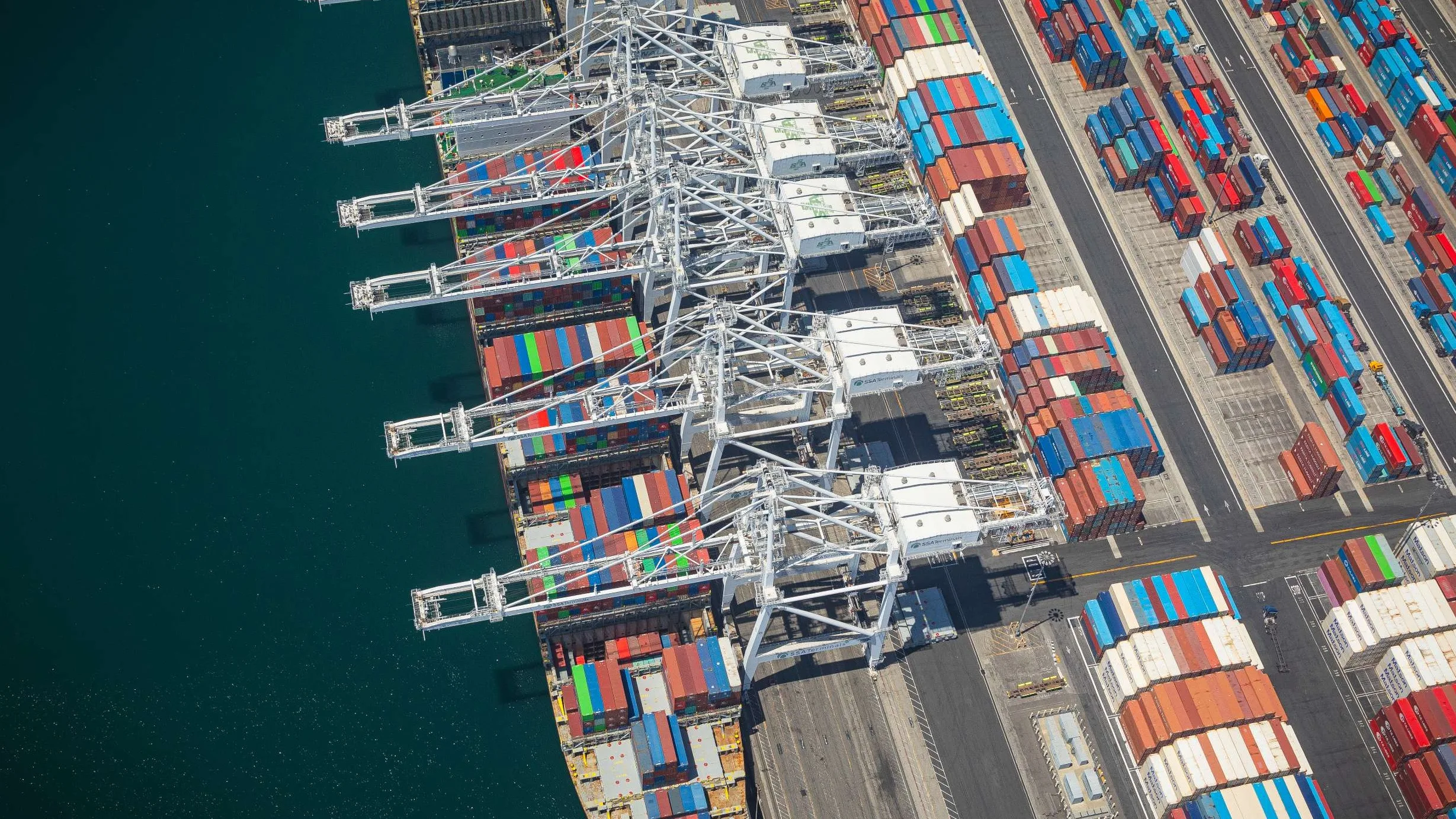
Ice is particularly unforgiving to infrastructure. As little as a quarter-inch of ice can dramatically increase the weight on tree limbs and power lines, making breakage likely even without high winds. In heavily wooded areas, falling limbs can take out multiple lines at once, complicating restoration efforts and leaving customers without electricity for extended periods. For residents, that means potential loss of heat during some of the coldest temperatures of the season. Wreaking havoc for businesses ad supply chains hoping to recover quickly.
Utility providers have staged crews and equipment in anticipation of outages, but officials caution that restoration timelines depend heavily on how much ice ultimately accumulates and how long cold air lingers behind the system. Repairs become slower and more dangerous when roads are slick and visibility is poor, extending disruptions beyond the storm itself.
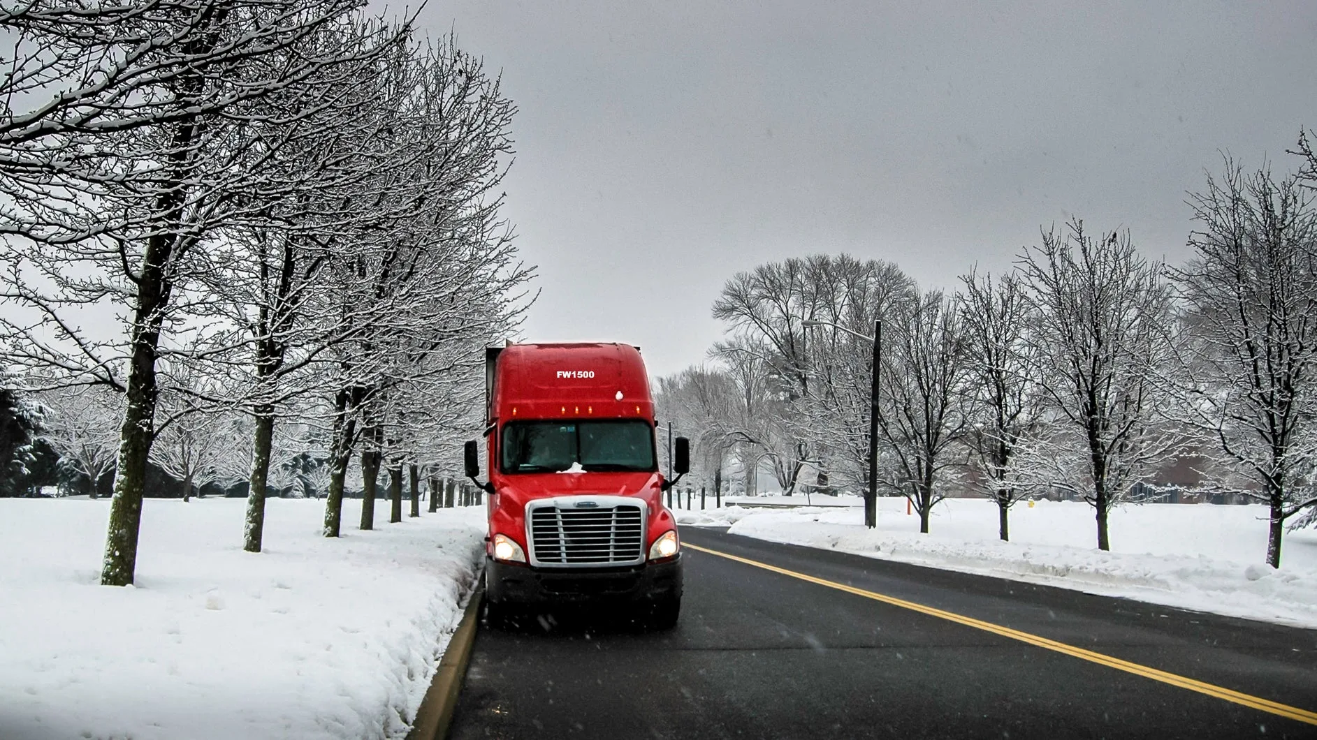
Transportation impacts are expected to be immediate. Ice-covered interstates and secondary roads reduce travel speeds to a crawl or shut down movement altogether, stranding drivers and forcing trucking companies to delay or reroute shipments.
In the Southeast, where snowplows and salt stockpiles are limited compared to northern states, road treatment can struggle to keep pace with persistent freezing rain. Even short closures along key corridors can cascade into missed pickups, delayed deliveries and lost productivity across supply chains that rely on just-in-time movement.
Farther west, cities in North Texas are also preparing for winter weather impacts tied to the same system. Municipal officials have outlined plans to pre-treat major roadways, coordinate emergency response and support vulnerable populations if temperatures fall rapidly. Those preparations underscore a broader regional reality: storms that might be manageable in colder climates can overwhelm systems in areas where winter weather is less frequent but no less disruptive.
As Fern stretches up into the Northeast there will be additional disruptions. While the Northeast is equipped to handle snow more than the Southeast, the real problem in the Northeast is the temperature. With temps in the negatives the main issue for businesses there is power failure. It’s going to be so cold that it could freeze the sap inside of trees causing “exploding trees” to be a risk causing trees to fall and knock out power lines.
The storm is anticpitaed to gear up around 12pm ET and is expected to carry on through Sunday morning.
The post Assessing the full impact of Winter Storm Fern appeared first on FreightWaves.


